Satellite model shows Alpine peatlands are smaller than official maps indicate
An international research team including University of Göttingen scientists published findings in Communications Earth & Environment showing that satellite data reveals Alpine peatlands are often smaller than official maps suggest.
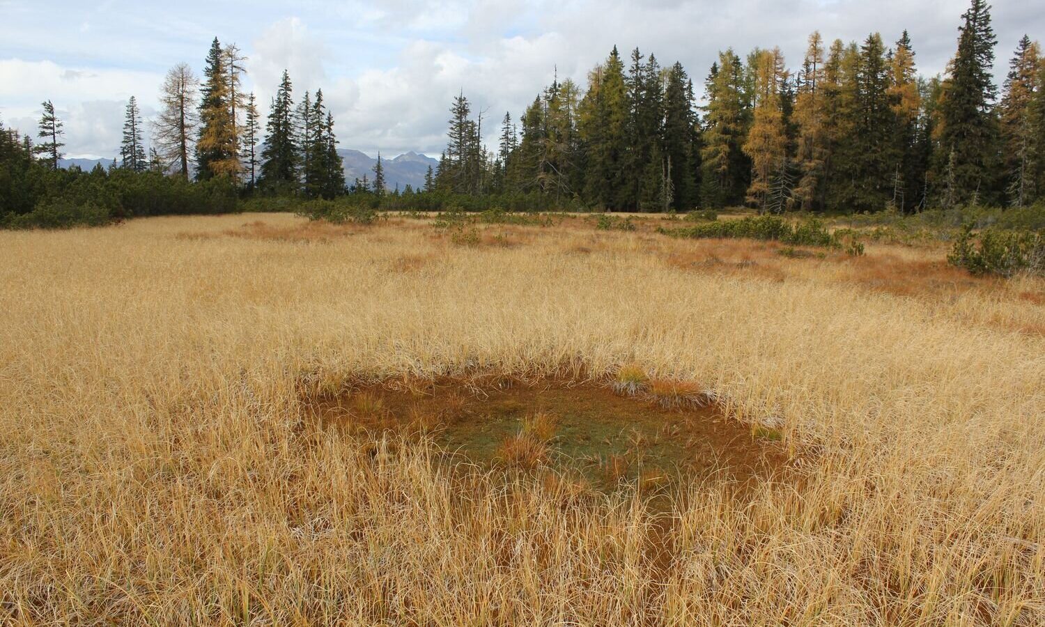
New cross-border analysis method used
Researchers developed a new model combining visible light and radar data collected between 2019 and 2023. They analyzed 590 peatlands located in Austria, Germany, and Switzerland to compare their findings with existing records.
Official maps overestimate area size
The comparison indicated that the model frequently identified these areas as significantly smaller than those shown on official maps. This discrepancy was particularly evident in locations where aerial photographs revealed visible signs of disturbance.
Disturbance signs found at most sites
Latest aerial photographs provided clues about causes, with signs of disturbance visible at almost 90 percent of the sites studied. These disturbances included encroaching trees and shrubs as well as new infrastructure or drainage for agricultural use.
Reported by one outlet
Only one outlet has published this. Nothing here has been checked against a second report, so read it as that outlet's account and follow the link below for the original.
Reported by
1 independent outlet. Headline as published. Links open the original report.