AI models analyze Great Lakes water level changes over decades
Researchers published an analysis of forty years of data on the Great Lakes in the journal Science of the Total Environment.
Historical fluctuations show extreme swings
Lake Michigan hit a record low in January 2013 before reaching a record high during the summer of 2020. The difference between these two extremes was nearly two meters. Lakes Superior, Erie and Ontario experienced similar reversals within a few months of each other.
Scientists seek predictive explanations
Hydrologists study how rain, snow, evaporation and human decisions combine to shift water levels over months. The new study uses artificial intelligence tools to explain the causes behind these variations rather than just predicting them.
Water depth affects local infrastructure
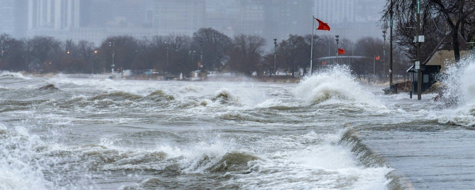
Changing levels control harbor depths and influence the stability of shorelines for drinking water intakes. These shifts also impact the survival of coastal wetlands and can close lakeside roads during flooding events.
Reported by one outlet
Only one outlet has published this. Nothing here has been checked against a second report, so read it as that outlet's account and follow the link below for the original.
Reported by
1 independent outlet. Headline as published. Links open the original report.