New tools help cities target urban tree planting for maximum heat relief
University of British Columbia researchers have developed new tools to identify specific neighborhoods in Kelowna, B.C., where planting trees will provide the greatest cooling benefits.
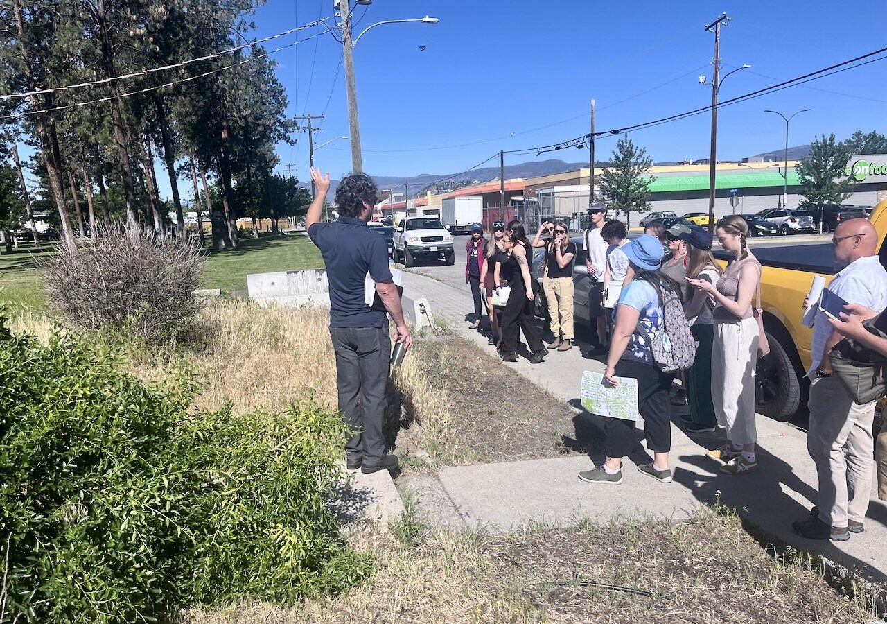
Broad targets miss local needs
Cities often set general canopy goals without considering that every neighborhood has different space constraints. Standard satellite imagery with 30-meter pixels blends rooftop and ground temperatures into a single average value. This lack of detail prevents planners from seeing exactly where heat builds up on individual blocks.
Machine learning sharpens data
The first study published in Remote Sensing tested an open-source machine-learning technique to improve image resolution. These complementary tools can now identify urban hot spots down to the scale of single streets. The approach moves decision-making from citywide targets toward specific locations where people experience heat.
Dr Melissa McHale leads work
Dr Melissa McHale serves as senior author on both studies within UBC's Faculty of Forestry and Environmental Stewardship. She noted that knowing planting is possible requires deciding exactly where shade will make the greatest difference. Together, these methods allow cities to address heat at the neighborhood level rather than using broad averages.
Reported by one outlet
Only one outlet has published this. Nothing here has been checked against a second report, so read it as that outlet's account and follow the link below for the original.
Reported by
1 independent outlet. Headline as published. Links open the original report.