AI tool identifies tree species in Brussels satellite images
A VUB researcher defended a PhD dissertation on September 9 describing artificial intelligence that classifies urban trees using satellite and aerial imagery.
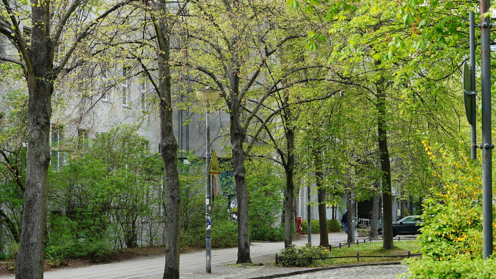
New technology maps city forests
Robbe Neyns developed an artificial intelligence system capable of identifying tree species down to the specific level. The technology analyzes satellite images taken at different times alongside highly detailed aerial photographs from the Brussels-Capital Region. This approach helps cities create better maps of their trees and biodiversity without relying on labor-intensive ground surveys.
Benefits for urban environments
Trees provide shade, cooling, air filtration, and habitats for animals within densely built-up areas. Existing inventories are often incomplete or outdated, making it difficult to know exactly which trees exist where. The new system addresses these gaps by recognizing tree crowns even when buildings cast shadows over the images.
Reported by one outlet
Only one outlet has published this. Nothing here has been checked against a second report, so read it as that outlet's account and follow the link below for the original.
Reported by
1 independent outlet. Headline as published. Links open the original report.