Satellite data show ESG scores track public image more than actual forest loss
Environmental sustainability researchers at NUS published a study in the Proceedings of the National Academy of Sciences revealing that ESG ratings often fail to reflect companies' actual deforestation exposure.
Study team investigates rating accuracy
Associate professor L. Roman Carrasco led the investigation alongside research fellow Yingtong Zhu and professor Johan Sulaeman. The team examined whether major ESG rating systems accurately capture one of businesses' biggest environmental impacts.
Data sources combined for analysis
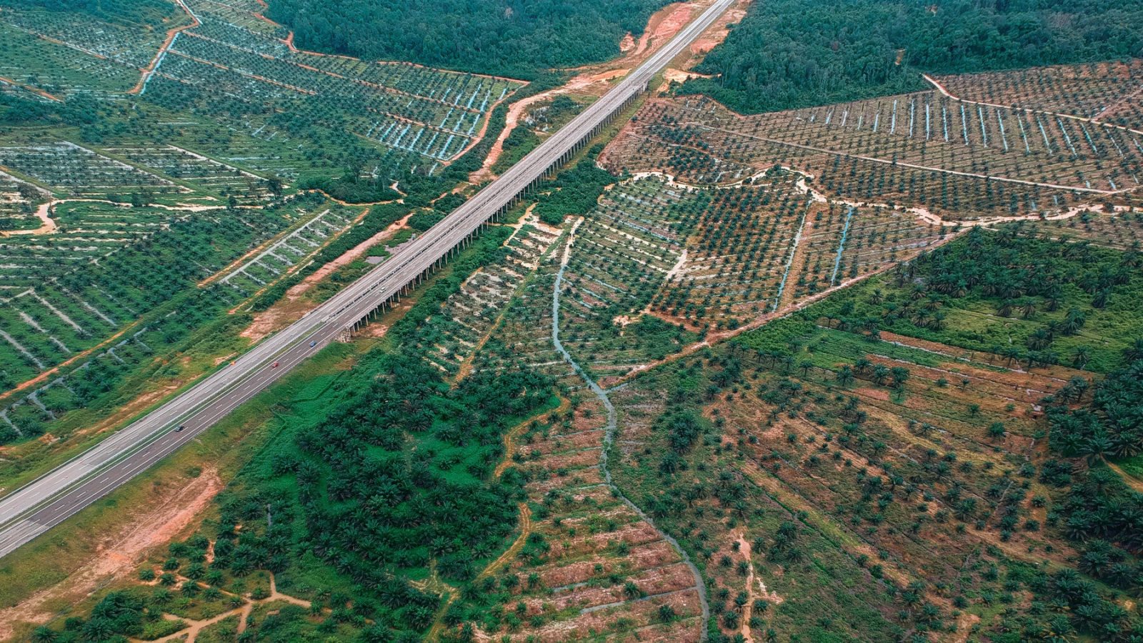
Researchers merged satellite-derived forest loss maps with company asset locations and supply-chain information. This multi-source approach allowed them to compare public ratings against physical evidence of deforestation.
Findings highlight investment framework gaps
The results indicate that widely used environmental, social and governance ratings often do not reflect actual exposure. Experts say integrating satellite-based data is necessary for sustainable investing frameworks to work properly.
Reported by one outlet
Only one outlet has published this. Nothing here has been checked against a second report, so read it as that outlet's account and follow the link below for the original.
Reported by
1 independent outlet. Headline as published. Links open the original report.