Ordnance Survey marks 225th anniversary of first map publication
The Ordnance Survey celebrated the 225th anniversary of its first map publication this week while reflecting on its history from military origins to digital tools.
Military origins and Enlightenment ideals
The earliest Ordnance Survey map of Kent took ten years to complete. This 1801 project began with military fears regarding potential Napoleonic invasion threats. Production was led by soldiers who used theodolites and measuring chains for accuracy. Their work also stemmed from an Enlightenment desire to represent reality precisely. Surveyors described their task as bringing intellectual order to the physical ground.
Cultural impact and modern tools
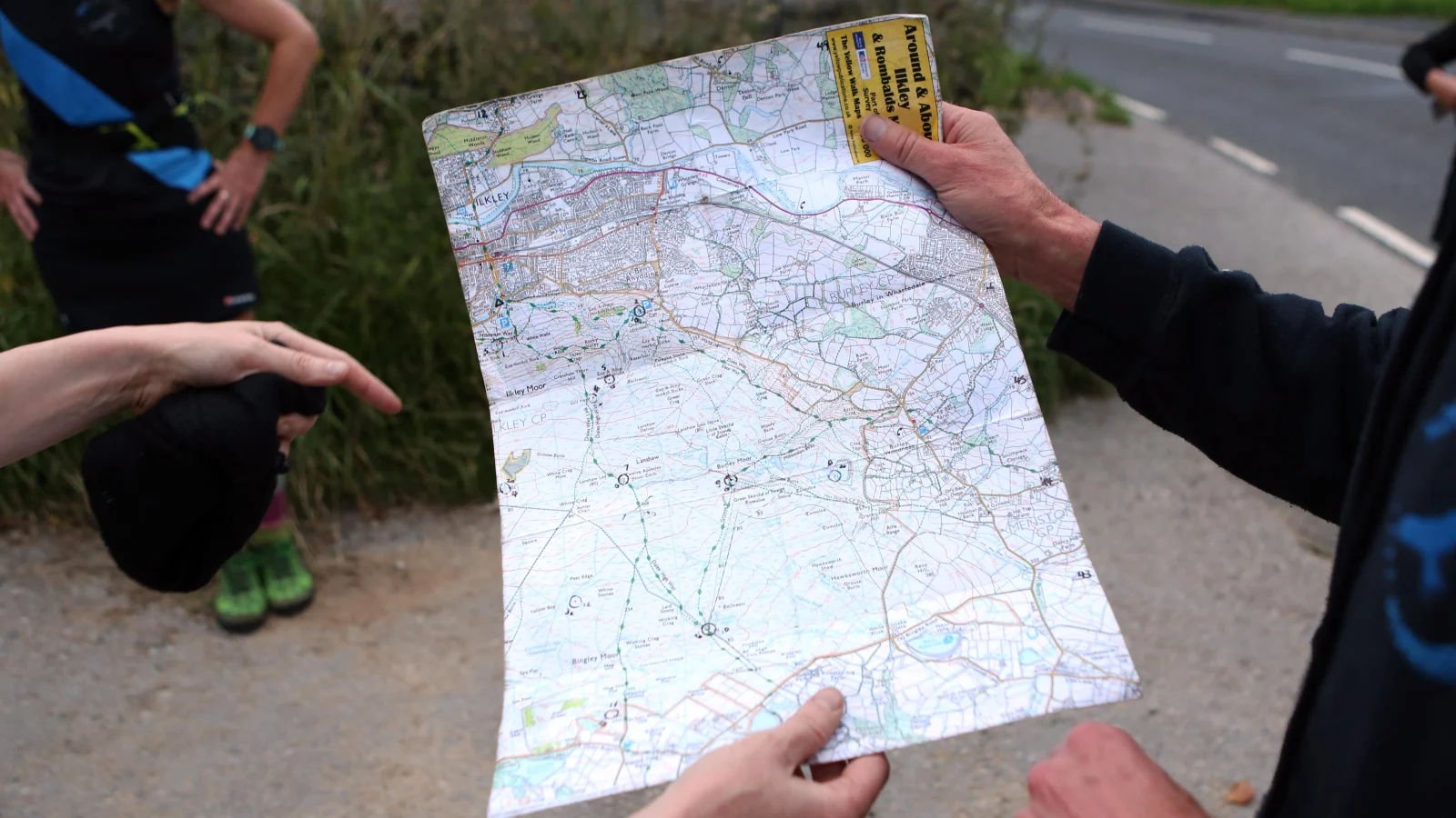
Commercial sales increased when covers showed motorcars and tourists exploring country lanes. Digital technologies like satellites and GPS now update the topographical legacy left by earlier teams. The tactile experience of using a vinyl record is being rediscovered by younger consumers today. Similarly, some people still enjoy the physical pleasures of handling an OS Landranger map outdoors.
Colonial power and digital navigation
Brian Friel wrote a play showing how colonial power imposed borders on Ireland. British surveyors once defined names across a Celtic landscape in that specific region. Modern satnav instructions offer monotone directions that lack the charm of traditional cartography. Passive reception of digital orders cannot match the active exploration invited by old maps.
Reported by one outlet
Only one outlet has published this. Nothing here has been checked against a second report, so read it as that outlet's account and follow the link below for the original.
Reported by
1 independent outlet. Headline as published. Links open the original report.