New study maps deep caves beneath Australia’s Nullarbor Plain
Scientists published a new study revealing how researchers can track hidden cave networks under the vast limestone plains of southern Australia.
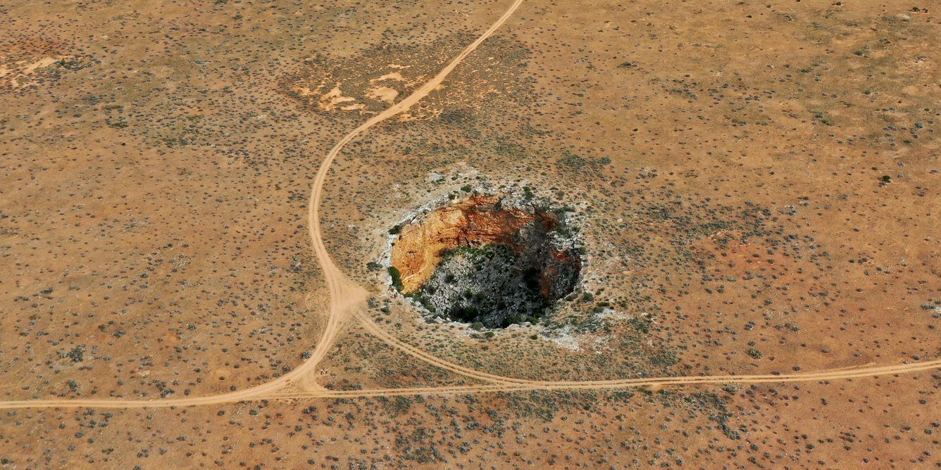
Ancient sea formed limestone plain
The Nullarbor Plain stretches more than 200,000 square kilometers across southern Australia. This region consists of one of the world's largest areas of limestone rock. An ancient shallow sea retreated from the area approximately 14 million years ago to create this dry landscape.
Water carved complex underground systems
Over millions of years, water has eroded the limestone to form extensive cave networks that can extend for kilometers underground. These systems remain largely hidden because they are only accessible where they breach the surface. The new research offers a method to track these cave systems even when they do not reach the ground.
Indigenous people lived on land
The Mirning People have inhabited the southern margin of this region for tens of thousands of years. They observed landscape changes and sea level fluctuations during the last ice age about 20,000 years ago.
Reported by one outlet
Only one outlet has published this. Nothing here has been checked against a second report, so read it as that outlet's account and follow the link below for the original.
Reported by
1 independent outlet. Headline as published. Links open the original report.