New research shows African observers provided data for colonial-era maps
Recent studies reveal that European cartographers relied heavily on Indigenous knowledge when mapping West Africa during the colonial period.
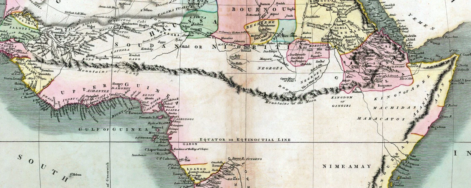
European maps used local data
Historical records indicate that ground and oral mapping traditions were common in precolonial West Africa. European explorers depended on these Indigenous practices to gather geographical information for their charts. Despite this reliance, credit for the observations was largely given to the Europeans who produced the final maps.
Indigenous knowledge remains undocumented
Many African map traditions from before colonization are now considered lost or ephemeral due to lack of written records. Experts note that these oral histories were highly valued within local communities even as they went unrecorded by outsiders.
Colonial narratives ignored local input
The assumption that European maps reflect only European observation is identified as a misconception by map historians. This view overlooks the significant contribution of African observers whose data formed the basis of widely used charts today.
Reported by one outlet
Only one outlet has published this. Nothing here has been checked against a second report, so read it as that outlet's account and follow the link below for the original.
Reported by
1 independent outlet. Headline as published. Links open the original report.