NASA satellites capture massive atmospheric waves above Hurricane Simon
NASA satellites captured enormous atmospheric waves rippling high above Hurricane Simon as it battered Mexico's Pacific coast on October 11, 2026.
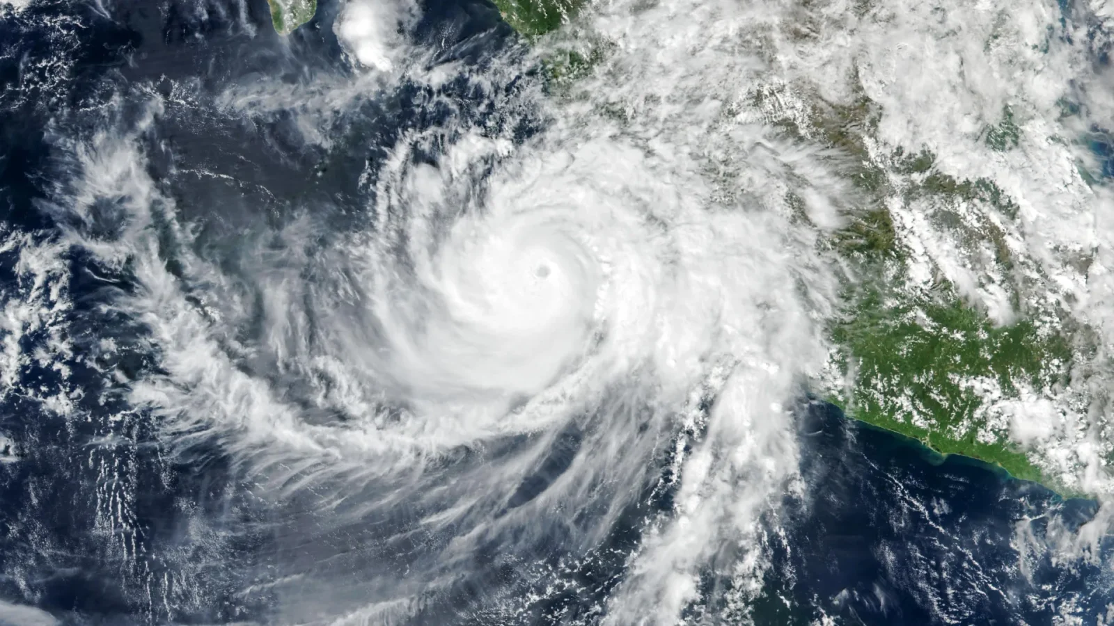
Satellite imagery shows upper atmosphere disturbance
The VIIRS instrument aboard NASA's Suomi NPP satellite recorded the event at approximately 2:30 p.m. local time on October 11. At that moment, the storm's eye was located roughly 50 kilometers offshore between Manzanillo and Puerto Vallarta.
Hurricane Simon maintains Category 4 status
The cyclone traveled north-northwest with sustained winds reaching 250 kilometers per hour while remaining offshore. These powerful winds and flooding affected Mexico's coastline despite the storm not making direct landfall.
Images reveal rare atmospheric patterns
The captured images show how such hurricanes disturb the upper atmosphere to create usually invisible patterns. This series of tropical cyclones swept across the Eastern Pacific during the 2026 hurricane season.
Reported by one outlet
Only one outlet has published this. Nothing here has been checked against a second report, so read it as that outlet's account and follow the link below for the original.
Reported by
1 independent outlet. Headline as published. Links open the original report.